ALPE ADRIA TRAIL
The Alpe-Adria-Trail connects three regions, Carinthia, Slovenia and Friuli-Venezia Giulia in a succession of 43 total stages and about 750 km.
This long-distance trail leads from the foot of Austria's highest mountain, the Großglockner, through the most beautiful stretches of Carinthia's mountain and lake landscape, directly near the crossing point of the three borders of Austria, Slovenia, and Italy and then ends on the shores of the Adriatic Sea in Muggia.
The Alpe-Adria-Trail is an itinerary designed preeminently for the pleasure of walking. Its course takes place largely in low mountains, and elevation changes, as far as possible, are minimal.
Each stage has a length of about 20 km, is completed in about 6 hours and has consistent signage. The route to be followed is well defined and can be done in either direction. Along the way there are several points of interest and at least one rest stop renowned for its cuisine, and the finish locations are always a places with overnight accommodations.
THE THREE COUNTRIES TOUR
The 3-nation loop allows you to discover the cross-border Tarvisio area in the heart of Europe, walking between Friuli Venezia Giulia, Slovenia and Carinthia.
This trek is a loop trail on the Alpe Adria Trail trails can be done in its entirety (stay 7 nights, 8 days), or in a shorter version (stay 4 days, 3 nights).
THE CAPS
- 1°: Baumgartnerhöhe - Warmbad
- 2°: Warmbad - Feistritz and der Gail
- 3°: Feistritz and der Gail (Austria) - Valbruna (Italia)
- 4°: Valbruna - Monta Lussari - Tarvisio
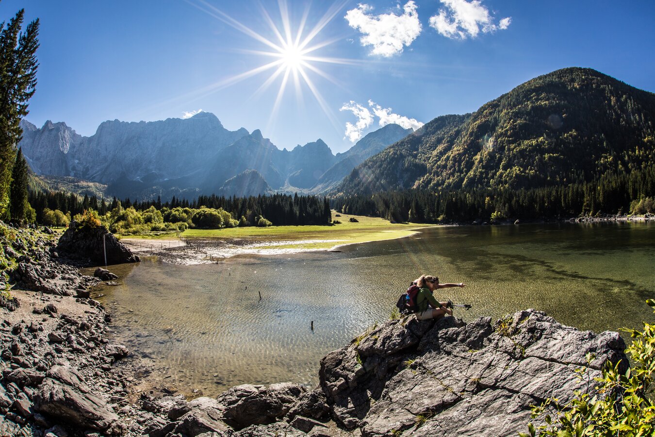
- 5°: Tarvisio - Laghi di Fusine
- 6°: Fusine - Kranjska Gora (Slovenia)
- 7°: Kranjska Gora - Baumgartnerhöhe (Austria)