Malborghetto
Municipality of Malborghetto-Valbruna is barycentrically located in the Val Canale and covers a total area of 119.82 sq. km. It borders the municipality of Tarvisio to the east, the municipalities of Dogna and Chiusaforte to the south, the municipality of Pontebba to the west, and Austria to the north. It lies between the Carnic Alps to the north, in which the highest peak is M. Ojsternig (m 2052), and the Julian Alps to the south, in which Jof di Montasio (m 2753) and Jof Fuart (m 2666) stand out.
The main watercourse that crosses the territory is the Fella River, which pours its waters into the Tagliamento; several streams then are tributaries of the Fella, among which we recall on the orographic right the Uque stream, the Malborghetto stream, the Rio Bianco and on the left the Saisera stream, Granuda large and small, the Rank stream (rich in ferruginous waters) and the Rio Zolfo (rich in sulfurous waters), which flows at Bagni di Lusnizza. The geological formations in the area are among the oldest in the Alps, and in particular "the outcropping rocks of the Uqua Valley (Uqua Formation of the Caradovician) are ochraceous siltstones dating back about 450 million years." Also rich in this regard are the fossil occurrences, from brachiopods to trilobites and cystoid fragments. The territory has also been known since centuries past for the presence of iron and manganese deposits on M. Cocco in Ugovizza, which were used for a time until World War II.
The territory's climate is continental. However, the exposure of the slopes greatly influences the microclimate, with even considerable differences between the northern and southern parts.
The municipality is divided into five hamlets: chief town Malborghetto with the hamlet of Cucco, then Ugovizza, Valbruna, S. Caterina and Bagni di Lusnizza. Like all of Val Canale, it is abundantly connected through both a good road and rail network. The state road No. 13 connecting Venice with Tarvisio, then the A23 highway, the new Pontebbana railway, which was upgraded in 1999 with the doubling of the Udine - Tarvisio section.
The territory is included within the Tarvisio Forest, owned by the FEC, an area of naturalistic interest due to the presence of a rich alpine flora and fauna. Within the municipal territory we recall the Cucco and Rio Bianco Biogenetic Nature Reserves, established again in 1975, two sites of Community Importance (SCI) - Jof di Montasio area and Vallone di Malborghetto and Rio Bianco - as well as at the regional level an environmental protection area in the Ojsternig area.
NOT TO BE MISSED
- "Abschnitt Saisera" theme park, an open-air museum dedicated to the Great War
- Saisera Wild Track: loop trail usable in both summer and winter suitable for young and old alike
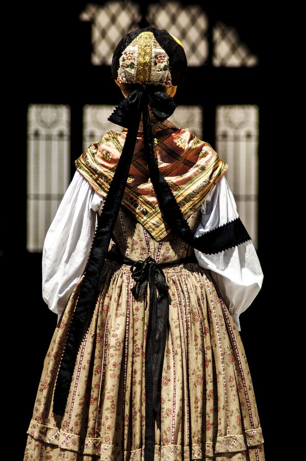
- The Venetian Palace, a 16th-century building, within which the Malborghetto Ethnographic Museum is housed
- Children's thematic trail Animalborghetto
Point of arrival
The Tarvisio tourist destination is located in Friuli Venezia Giulia, on the border with Austria and Slovenia
